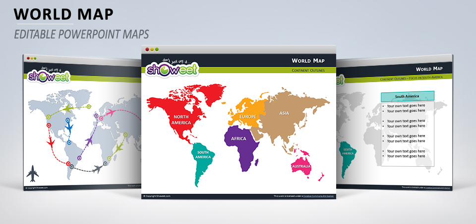
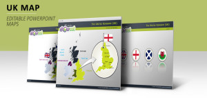
Free editable (vector) world map with outline continents (North America, South America, Europe, Africa, Asia, Australia) for your PowerPoint presentations. Contains 13 pre-designed slides.
Editable = you can easily edit each continent (or the whole world outlines) to add your own color and special effects or to resize it to fit your PowerPoint presentation.
Presentation Package includes:
- 13 slides with editable vector maps
- Premium-quality customizable maps (can be resized or colored)
- Format available: PowerPoint 2007-2013 (.PPTX)
- Licence: Attribution-NoDerivs 3.0 Unported (CC BY-ND 3.0)
Slides included:


Comments are closed.