Maps
Map of Germany Templates for PowerPoint
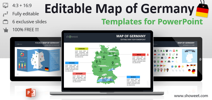
Free editable map of Germany for PowerPoint presentations. Large resolution outline map templates.
Free creative templates for PowerPoint and Google Slides
Browse our extensive collection of map templates for Google Slides and PowerPoint. 100% free downloads.
Editable, easily customizable, and professional graphics to create stunning, engaging presentations.
Free editable map of Germany for PowerPoint presentations. Large resolution outline map templates.

Free editable map of Spain for PowerPoint presentations. Large resolution outline map templates. PPTX document with 5 professionally designed and ready-to-use slides.

Free editable map of France for PowerPoint presentations. Large resolution outline map templates. PPTX document with 5 professionally designed and ready-to-use slides.
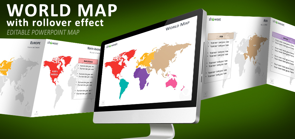
Free PowerPoint world map with rollover effect. Editable PPTX worldmap with 6 continents (Antarctica not included). On mouse over each of the 6 continents, a popup-like text box appears for your content or information related to this continent.
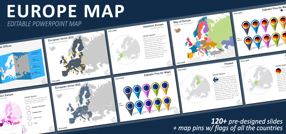
Free premium-quality Europe maps for PowerPoint presentations. 120+ ready-to-use template slides.
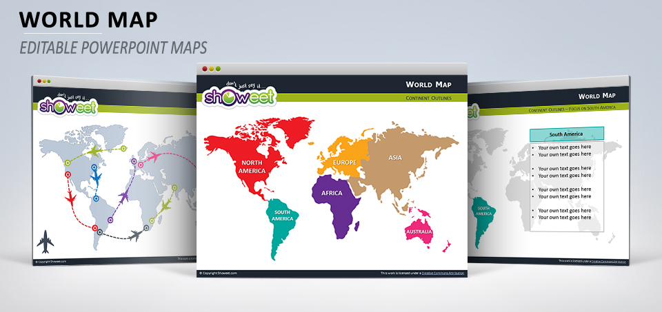
Free editable (vector) world map with outline continents (North America, South America, Europe, Africa, Asia, Australia) for your PowerPoint presentations.
Free editable dotted world map for PowerPoint. It comes with square and round pixel shapes.
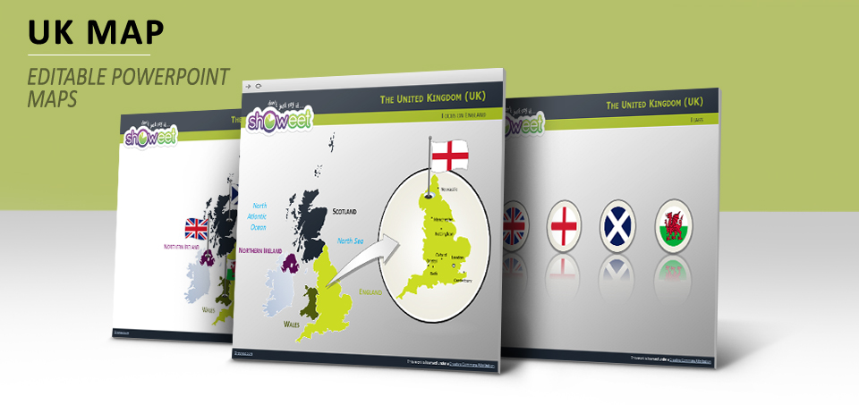
Editable maps of the United Kingdom with outline countries (England, Scotland, Wales and Northern Ireland) for your PowerPoint presentations.